Forecasting
With policy direction from the SCAG Community, Economic and Human Development (CEHD) Policy Committee and working closely with the Technical Working Group (TWG), the California Department of Finance (DOF), subregions, local jurisdictions, CTCs, the public and other major stakeholders, SCAG is responsible for producing socio-economic estimates and projections at multiple geographic levels and in multiple years.
SCAG develops, refines and maintains SCAG’s regional and small area socio-economic forecasting/allocation models. The socio-economic estimates and projections are used for federal and state mandated long-range planning efforts such as the Regional Transportation Plan /Sustainable Communities Strategy (RTP/SCS), the Air Quality Management Plan (AQMP), the Federal Transportation Improvement Program (FTIP), and the Regional Housing Needs Assessment (RHNA).
The regional growth forecast represents the most likely growth scenario for the Southern California region in the future, taking into account a combination of recent and past trends, reasonable key technical assumptions, and regional growth policies. The regional growth forecast is the basis for developing the Regional Transportation Plan (RTP), Sustainable Communities Strategy (SCS), Program Environmental Impact Report (PEIR), and the Regional Housing Needs Assessment (RHNA). The regional growth forecast is completed through the collaboration among the various stakeholders.
SCAG projects three major growth indicators: population, households, and employment, for the region. SCAG’s regional forecast maintains the balance between employment, population, and households due to their interrelationship, assuming that employment growth is a driving force of regional population and household growth. The employment-population-household (EPH) forecast framework has been the basis for developing the regional growth forecast for the SCAG region. The regional EPH framework is implemented through three step process.
Step 1
The SCAG regional employment growth forecast is developed using a top down procedure from the national population and employment forecast. Regional employment is projected using the shift-share model. The model computes regional employment at a future point in time using a regional share of the nation’s employment.
Step 2
SCAG projects regional population using the cohort-component model with an emphasis of an economic demographic modeling context. The model computes population at a future point in time by adding to the existing population the number of group quarters population, births, and persons moving into the region during a projection period, and by subtracting the number of deaths and the number of persons moving out of the region. The patterns of migration into and out of the region are adjusted to maintain the reasonable difference between labor supply and labor demand. Labor demand is estimated using the projected jobs for the region.
Step 3
The SCAG region’s households are projected by using projected headship rate. The projected households at a future point in time are computed by multiplying the projected residential population by projected headship rates. Headship rate is the proportion of a population cohort that forms the household. Age-gender-racial/ethnic specific household formation level is applied to the projected population to estimate households.
The county growth forecast is also implemented in the EPH forecast framework. The initial population and employment forecasts are independently processed using their forecast methods. The initial population and employment forecasts would be further adjusted using the county level population-employment ratio, with the consideration of labor supply and demand of each county and inter-county commuting pattern.
SCAG develops socioeconomic estimates and growth projections including population, households, and employment for cities and transportation analysis zones in the SCAG region through enhanced forecasting methods and interactive public outreach. These estimates and projections provide the analytical foundations for SCAG’s transportation planning and other programs.
The transportation planning area covers 191 jurisdictions and six unincorporated communities in Southern California. This region is divided into over 11,000 small areas. These small areas are known as the Tier 2 Transportation Analysis Zone (TAZ) system. This zone system is uniquely designed to allow highly detailed traffic analysis and predictions through the use of SCAG’s sophisticated transportation model.
Population, household and employment estimates, and forecasts are maintained at the jurisdictional and county unincorporated level. Secondary variables including population, household and employment characteristics, single and multiple households, or employment by sectors, are further estimated and projected at the Tier 2 level.
This provides SCAG, in great geographical detail, current and future demographic profiles of the region. These profiles are key inputs to SCAG’s transportation model, which uses them to help estimate current and future transportation conditions.
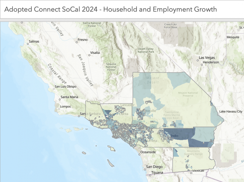
Click here for the 2016-2040 RTP/SCS Final Growth Forecast by Jurisdiction and Total Population (2000 and 2010).