Our Work
- Connect SoCal
- Inclusion, Diversity, Equity & Awareness
- Programs & Projects
- Housing
- Economy & Demography
- Federal & State Compliance
- Sustainability
- Transportation
- Active Transportation
- Aviation Program
- Regional Pilot Initiatives Program
- The Future Communities Initiative
- Transportation Demand Management
- Transit Program
- FreightWorks
- Passenger Rail Program
- Corridor Planning
- Transportation Safety
- Transportation Finance
- Intelligent Transportation Systems
- Southern California Transportation Study
- Local Resources
- Funding & Programming
- Legislation & Advocacy
- Publications & Reports
Open Space
Open Space & The Quality of Life
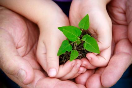
The concept of sustainability includes “Improving the quality of human life while living within the carrying capacity of supporting ecosystems.[1]” As our region grows and urbanizes, we are modifying the natural world and diminishing the availability of resources for future generations. While we continue to improve our quality of life, we must also create a sustainable framework for the future. Conserving open space creates sustainable communities by preserving and increasing ecosystem productivity, improving wildlife habitats, and making greenspace more easily accessible.
SCAG has begun a strategic planning process to determine critical components and implementation steps for open space resources in our region. The program will build on existing work currently being done at the local level and be based on recent, scientific data and methodologies. This work will guide the development of policies and actions for consideration in future plans, such as a recommendation for a regional mitigation policy for the 2016 Regional Transportation Plan/Sustainable Communities Strategy (RTP/SCS). With every adoption of the RTP, SCAG is helping to create transportation infrastructure that improves mobility, accessibility, safety and connectivity. At the same time, infrastructure planning must consider and incorporate actions that will protect the environment and make efficient use of our natural resources.
From IUCN, UNEP, WWF (1991): Caring for the Earth. A Strategy for Sustainable Living. Gland, Switzerland.
Growing Our Infrastructure
Green infrastructure is the interconnected network of open spaces, such as farmland, natural areas, parks, urban forests, and other greenways that links the urban environment to the natural world. Green infrastructure provides wildlife habitat, recreational opportunities, and contributes to a resilient food system.
Many human-built, gray infrastructure functions such as flood control or water purification have a natural counterpart. The ecosystem services provided by the natural world can replace, complement, or enhance gray infrastructure functions. However these natural processes need an intact green infrastructure to continue to function well.
Natural Lands
Natural lands are areas largely undeveloped and in their natural state. These open spaces are generally characterized by their biological resources and their natural functions, such as providing habitat for wildlife or acting as a natural water purifier. Natural lands can be classified as unprotected or protected, with protected lands having varying levels of protection. A protected land designation means there is a general commitment to maintain the property for any of a wide range of open space uses.
SCAG uses the California Protected Areas Database (CPAD) developed by GreenInfo Network to identify protected lands. CPAD is a comprehensive database of California lands that are held in fee title ownership for the continuation of open space values. It is part of the Protected Areas Database of the United States (PAD-US), an inventory of marine and terrestrial protected areas throughout the entire nation. “Protected” status can confer anything from complete, permanent protection of habitat in its natural state to some protection of the land cover with allowances for extractive or localized intense uses. The USGS Gap Analysis Program (GAP) identifies protection level for protected lands. GreenInfo Network is currently working to update and refine GAP status for CPAD.
Urban Forests and Community Parks

Living in the built environment can make access to open spaces difficult and make people forget that cities are dependent on having some green infrastructure to function properly. Green spaces in urban areas are an important commodity. Parks, neighborhood trees, green medians, and other vegetated areas all provide some ecosystem service. Tree canopies provide shade, reduce the urban heat island effect, and absorb air pollution. Vegetation provides permeable surfaces to allow water to infiltrate the soil, reducing stormwater runoff and recharging underground aquifers. The denser the urban forest, the better the ecosystem service it provides.
Urban forests also provide health, social and economic benefits. Childhood obesity in the US has been linked to a sedentary lifestyle partly caused by the lack of easy access to parks and other open spaces. Obesity can lead to many types of health problems including cardiovascular disease, some forms of arthritis, and diabetes. Asthma and other lung diseases have been linked to air pollution that could be partly mitigated by the presence of trees and other vegetation that act as air filters in urban areas. Many studies have shown that social behavior improves with better green spaces and attractive landscapes. Communities feel safer, less stress, and experience less violence. Commercial areas have higher economic returns because shoppers stay longer and are willing to pay more for services and goods in business districts with vegetated outdoor settings and tree-lined sidewalks.
The City Project has done work on mapping green access in Southern California. The report analyzes equity to green access and contains recommendations for improving access to parks in Southern California. SCAG’s 2012 RTP/SCS Environmental Justice report discusses park access and equity issues from a regional perspective. SCAG’s 2016 RTP/SCS, currently under development will continue to address the importance of policies that encourage access to parks and open space in disadvantaged communities.
Agricultural Lands

Farmlands and rangelands are agricultural land uses that are part of the region’s open landscape and entail various types and degrees of modifications to natural lands. Farmlands include irrigated and non-irrigated crop production. Rangelands include any expanse of natural land that is not fertilized, irrigated, or cultivated and is predominantly used for grazing by livestock and wildlife.
Estimates prepared in 2008 by the California Department of Conservation show that the SCAG region consists of approximately 10% (2.65 million acres) agricultural lands and 6% (1.48 million acres) rangeland, altogether. Ventura, Riverside, and Imperial counties generally have more farmland while more rangeland can be found in Los Angeles, Orange, and San Bernardino counties.
Historically, development patterns in the region have been tied as much to the conversion of agricultural lands as to the consumption of natural lands for urban uses. A key issue in the region today is whether the high rate of farmland conversion in recent years can be slowed to prevent irreversible losses. An estimated 230,000 acres of farmland and grazing land were converted to non-agricultural uses and/or applied for development entitlements between 1996 and 2004. If this trend continues unabated, the existing inventory of agricultural lands could be reduced by 700,000 acres before 2030.
Agricultural lands are important to the local economy. According to the California Department of Food and Agriculture, California’s top 20 crop and livestock commodities accounted for more than $43.5 billion in value in 2011. These lands also provide critical habitat for wildlife, protect local scenery, act as a buffer between urbanized and natural areas, and contribute to a resilient, local food system.
The Division of Land Resource Protection works with landowners and other stakeholders to encourage agricultural land conservation. They implement the California Farmland Conservancy Program (CFCP) that encourages permanent farmland conservation through easements and the Williamson Act, a voluntary agreement to restrict development of agricultural lands in exchange for tax reductions. They are also responsible for the Farmland Mapping and Monitoring Program (FMMP) that provides maps and 2-year updates of California’s agricultural lands inventory.
Ecosystem Services
Ecosystems are full of complex and dynamic interactions between the biological community and the physical environment. Ecosystem services are the benefits that nature provides to people. These benefits range from concrete ecosystem goods, such as water, building materials, pharmaceuticals, and industrial products to life-support functions such as air and water purification, waste breakdown and detoxification, crop pollination, and flood and fire mitigation to the intangible, such as aesthetic beauty and natural diversity.
New studies are showing just how dependent we are on these services provided by nature. This recent article, Loss of Wild Insects Hurts Crops Around the World (02/28/13), shows how integral biodiversity and native pollinators are to our agricultural industry. To help decision-makers better understand the role ecosystems services play and how to incorporate it into existing processes, the World Resources Institute developed a report called, Ecosystem Services: A Guide for Decision Makers.
- Maintains Biodiversity & Wildlife Habitats
- Provides key elements of agricultural, pharmaceutical, and industrial activities for human benefit
- Nutrient Storage and Cycling
- Soil Structure, Formation, and Fertility
- Natural enhancement of the soil system
- Promotes organic matter buildup/carbon sequestration
- Pollination of Crops and Natural Vegetation
- Approximately 75% of all human food comes from plants that need pollination. Over half of that requires pollination by wild (native) pollinators – including bats, birds, bees, butterflies, moths, flies, and beetles.
- Biological Pest Control
- Fiber, Building & Industrial Materials, and Fuel Production
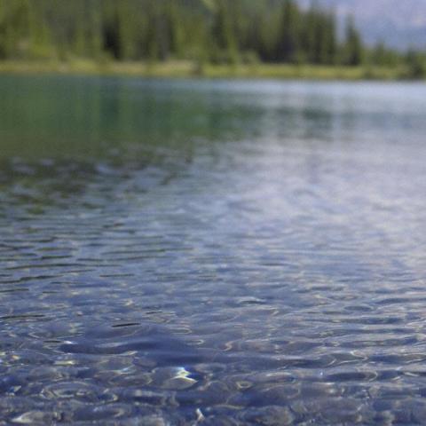
- Water Cycling & Water Quality
- Maintains soil moisture and regulate water movement/cycling
- Purifies organic/inorganic constituents in surface and ground water.
- Regulates water pollution
- Detoxification and Decomposition of Wastes
- Atmospheric Gas & Climate Regulation, Air Purification
- Regulates atmospheric chemical composition
- Moderates temperature extremes.
- Carbon sequestration
- Fire Control and Suppression
- Mitigates the Impacts of Flood and Drought
- Provides Opportunities for Recreational Activities & Cultural Diversity
Biodiversity
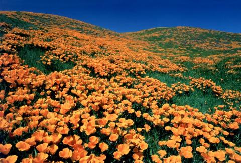
California is home to a diversity of plant and animal species, many of which are endemic to the area and found nowhere else in the world. Because of the close proximity of so many distinct habitats to each other from mild, coastal climates to cold, mountainous peaks to dry, desert areas, our region boasts an abundance of wildlife.
California’s coastal Mediterranean climate is of special concern due to the unusually high concentration of endemic plants found there. This area is considered a biodiversity hotspot because much of the original habitat has already been lost; at the same time, continuing urbanization and climate change threatens existing habitats of these unique plants and animals. Overall, California has approximately 300 endangered, threatened, or rare plant and animal species.
The SCAG region contains an exceptionally diverse set of plant and animal communities that are broadly categorized into the following habitat types: desert shrub (scrub) and woodland, beaches and dunes, conifer forests and woodlands, hardwood forests and woodlands, valley and coastal plains grasslands, shrub (scrub), wetlands, riparian habitats, and coastal marine resources. There are many endemic, rare, or special status species found in each of these habitats such as the Arroyo toad, Santa Ana sucker, Stephens’ kangaroo rat, Western snowy plover, Palos Verdes blue butterfly and Coastal dunes milk-vetch. The California Department of Fish and Wildlife maintains a list of special status species.
Conservation Planning
SCAG is developing a strategy for addressing regional open space conservation as described in the 2012 RTP/SCS. As part of the strategic planning process, SCAG will engage partner agencies, such as County Transportation Commissions (CTCs), local jurisdictions, and other stakeholders to determine the critical elements needed for crafting a successful regional open space conservation program.
SCAG’s goal is to create a comprehensive open space database for the SCAG region by developing and identifying existing resources on wildlife and open space that stakeholders could voluntarily use to supplement their own planning activities, as needed. In addition, this process will help us explore interest in, and encourage the development of, creating an implementable regional open space conservation program, such as the Regional Advance Mitigation Plan (RAMP) or the Green Vision program.
Program
SCAG is currently preparing an inventory of open space conservation planning efforts in the region for use in our open space conservation planning work. Once we have a preliminary inventory drafted, we will make it available via MapCollaborator for stakeholder review. Please check back to see our progress.
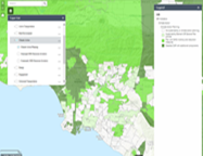
MapCollaborator
SCAG is in the process of creating an inventory of all existing open space conservation plans and programs in the SCAG region. SCAG would like to invite member agencies to review and update the data using MapCollaborator, once the application is on-line. MapCollaborator is a simple online mapping system that will allow users to view and edit data, as well as upload GIS files to the map.
MapCollaborator will let users make recommendations or changes to the open space conservation plan inventory in the following ways:
- Choose a location – Choose county, city, or just zoom to a spot on the web map.
- Select lands to review – Choose an agency type and a specific agency land owner, see list and map of those lands.
- Add a note – Pin a note on the map with comments on a particular site.
- Draw a new holding – Use a simple drawing tool to draw a new or revised park/open space holding.
- Edit a holding – Click an existing park and reshape its geometry or revise its attributes.
- Upload GIS files – Upload your own GIS file (shape file or KML) to review or submit.
Meetings and Working Groups
As our program progresses, we will develop working groups to provide structured feedback on our strategic planning process and open space conservation plan.

Mitigating Impacts
The mitigation program of the 2012–2035 RTP/SCS generally includes strategies to reduce impacts where transportation and sensitive lands intersect and also encourages smart land use strategies that maximize the existing system and eliminate the need for new facilities that might impact open space and habitat.
Potential mitigation programs include planning of transportation projects to avoid or lessen impacts to open space, recreation land, and agricultural lands through information and data sharing, increasing density in developed areas and minimizing development in previously undeveloped areas that may contain important open space.
There are many types of mitigation strategies that can be tailored to meet open space conservation needs and constraints such as advance mitigation planning, habitat banking, transfer of development rights, and easements.
- REGIONAL ADVANCED MITIGATION PLANNING (RAMP)
- TRANSFER OF DEVELOPMENT RIGHTS (TDR)
- HABITAT BANKING
- CONSERVATION EASEMENTS
- HCP / NCCP
REGIONAL ADVANCED MITIGATION PLANNING (RAMP)
Regional Advance Mitigation Planning (RAMP) is a strategic mitigation and conservation-planning program that identifies mitigation solutions for infrastructure projects early in the planning process to prevent project delays and reduce mitigation costs while improving mitigation quality. A RAMP promotes a coordinated approach between regulatory agencies and other stakeholders by targeting mitigation efforts so that essential habitat connections are created or existing conservation areas are expanded, which will result in preservation or restoration of more valuable biological resources for wildlife (FHWA).
The usual project-by-project approach to open space mitigation has many limitations such as infrastructure project delays when suitable mitigation land cannot be found; permitting delays; high compensation ratios that can add to mitigation cost; costly and challenging management of protected or restored mitigation land; additive administrative support costs associated with developing agreements and implementation mechanisms for each individual mitigation project and limited or no connection to regional conservation priorities.
The benefits of a RAMP are succinctly summed up in the Eco-Logical guidebook by USDOT as follows:
“A shared advantage of integrated planning is the significant timesavings made possible by establishing and prioritizing opportunities. If agencies know beforehand where the most ecologically important areas and resources are, they can work to see that projects avoid these areas as much as possible— thus saving time during planning, scoping, and environmental review. By understanding early on where the mitigation areas most beneficial for wildlife are located, required mitigation can be more quickly implemented, perhaps streamlining permit approval for future projects. Finally, opportunities for ecosystem-level conservation and/or mitigation that are available now may no longer be available when a project is implemented. Increasing land costs or additional development may prohibit capitalizing on these opportunities at a later date. Act now to benefit from these opportunities.”
Since 2008 there has been a multi-agency effort led by the California Department of Water Resources to create RAMP guidelines for the state of California. Participants include a number of state and federal resource agencies as well as conservation groups and universities. The Draft Statewide Framework for Regional Advance Mitigation Planning in California was released April 2013 and is now available from the RAMP website upon request.
RAMP Info Sheet
Orange County Transportation Authority Measure M2 Freeway Environmental Mitigation Program
TRANSFER OF DEVELOPMENT RIGHTS (TDR)
Transfer of development rights (TDR) “is a device by which the development potential of a site is severed from its title and made available for transfer to another location. The owner of a site within a transfer area retains property ownership, but not approval to develop. The owner of a site within a receiving area may purchase transferable development rights, allowing a receptor site to be developed at a greater density.” (California Office of Planning and Research, General Plan Guidelines, 2003) TDR is most commonly used to preserve agricultural lands but it can also be used for preserving natural, open space.
TDR programs can vary depending on the need of the local jurisdiction but in general there are a few common factors that contribute to the success of a TDR program. These include having a donor site with development constraints, appropriate zoning regulations, and infrastructure requirements. Other TDR success factors are described in this commentary on TDR from an issue of Planning and Environmental Law.
HABITAT BANKING
Habitat banking is the restoration, creation, enhancement, or preservation of a wetland, stream, or other habitat area to offset adverse impacts to habitats of equivalent function and quality when mitigation is not feasible at the project site. The bank is usually a contiguous, high quality habitat area with intact, ecological functions similar to the habitat being lost. The area must be monitored and maintained to ensure the area is conserved in perpetuity. Habitat banking helps consolidate small, fragmented mitigation projects.
There are generally two types of habitat banks:
- Mitigation Banks (Wetland/Stream Banks): These banks offer credits for mitigating unavoidable impacts to wetland, stream, or aquatic resources.
- Conservation Banks: These banks offer credits for mitigating unavoidable impacts to threatened and endangered species and their habitats and other sensitive areas.
Habitat banks are a form of “third-party” compensatory mitigation, in which the responsibility for compensatory mitigation implementation and success is assumed by a party other than the permittee[1].
——————————————————————————–
CONSERVATION EASEMENTS
A “conservation easement” (also known as a conservation restriction) is a legal agreement between a landowner and a land trust or government agency that permanently limits uses of the land in order to protect its conservation values. It allows landowners to continue to own and use their land, and they can also sell it or pass it on to heirs.
HCP / NCCP
Habitat Conservation Plans (HCPs) are agreements under the federal Endangered Species Act that allow some development on endangered and threatened species habitats in exchange for conservation of other lands where endangered species can be found.
By contrast, Natural Community Conservation Plans (NCCPs) were created under California’s Natural Community Conservation Planning Act to encourage a regional, ecosystem approach and more proactive planning. Species do not have to be formally listed to be covered in an NCCP. A local jurisdiction will develop an NCCP in exchange for incidental take permits that are issued by State agencies. HCPs and NCCPs are often prepared together.
Western Riverside Multi-Species Habitat Conservation Plan
Coachella Valley Multi-Species Habitat Conservation Plan
SCAG Program Links & Resources

- Conservation Framework
Key Open Space Stakeholder Organizations A list of important stakeholder organizations for SCAG to consultant during the open space planning process. Involvement from additional stakeholder organizations is strongly encouraged.Natural Resource Science Experts List A list of scientists whose research provides scientific information regarding natural resources in the SCAG region.
Existing Information and Data Gaps for Natural Resources Report Provides a summary of the information gathered in support of expanding SCAG’s GIS database for resources relevant to natural resources planning for open space in the six-county SCAG region.
Inventory of Natural Resources Databases in SCAG Region An inventory of the publically available open space data and data sources relevant to conservation and mitigation planning in the SCAG region. The databases include information covering the entire SCAG region, individual counties, or portions of counties.
Conservation Framework & Assessment Outlines a regional natural resource conservation approach that accounts for impacts and improvements in a consistent manner across all habitats and landscapes. This assessment also includes a multi-species habitat evaluation method, the Combined Habitat Assessment Protocol (CHAP), at the regional scale and at a local, pilot scale.
- Green Infrastructure
Measuring the Economic Value of A City Park System (2009) A report on the economic value that cities and urban residents receive from their park and recreation syst
US EPA: Green Infrastructure Green infrastructure information by the US Environmental Protection Agency (EPA).
More Green Infrastructure Resources Recommended green infrastructure resources and links from the Green Infrastructure Center.
Green Infrastructure Strategy A resource on items to consider for creating a green infrastructure strategy. Recommendations on policy considerations by the European Commission.
- Natural Lands
California Protected Areas Database (CPAD) A GIS inventory of all protected park and open space lands in California, held in fee ownership by public agencies and non-profits.
USGS Gap Analysis Program (GAP) GAP identifies conservation gaps and maintains four primary data sets – land cover, protected areas, species, and aquatic resources – available for public use.
Ecological Principles for Managing Land Use Key ecological principles for land use and management from The Ecological Society of America’s Committee on Land Use.
- Agricultural Lands
California Department of Food and Agriculture (CDFA) Statistics for California’s agricultural industry can be found at the CDFA website.
California Dept of Conservation: Division of Land Resource Protection (DLRP) DLRP works to conserve California’s agricultural resources. They implement the California Farmland Conservancy Program (CFCP) that encourages permanent farmland conservation through easements and the Williamson Act Program, voluntary agreements to restrict development of agricultural lands in exchange for tax reductions.
Farmland Mapping & Monitoring Program (FMMP) The FMMP provides maps and statistical data on California’s agricultural resources. Agricultural land maps are updated every two years.
MOCA: The Measure of California Agriculture (2009) Documents California agriculture and its relationship to the rest of the economy.
At Risk: Ventura County’s Open Space and Farmlands (2012) This report analyzes the challenges of preserving Ventura County’s open space and agricultural lands and details actions needed to ensure their long-term preservation.
- Urban Forests & Community Parks
City of Santa Monica Urban Forest Master Plan The master plan establishes the vision for perpetuating and enhancing the city’s urban forest. It provides a comprehensive guide on local ecosystems, appropriate tree species, maintenance practices, watering and other considerations.
i-Tree A state-of-the-art, peer-reviewed software suite from the USDA Forest Service that provides urban and community forestry analysis and benefits assessment tools. iTree Tools are in the public domain and are freely accessible. Learn more about i-Tree.
USDA Forest Service Urban and Community Forestry Resources on urban forests from the U.S. Department of Agriculture Forest Service.
Healthy Parks, Schools and Communities: Mapping Green Access and Equity for Southern California This report from The City Project maps and analyzes park access and equity in nine counties in Southern California - Los Angeles, Orange, Ventura, San Bernardino, Riverside, San Diego, Kern, Santa Barbara and Imperial. The maps in this report plot green space in relation to population and other metrics to measure accessibility, such as distance to the park.
- Ecosystem Services
Ecological Society of America Fact Sheet on Ecosystem Services
Loss of Wild Insects Hurts Crops Around the World (Feb 28, 2013) An article detailing the importance of wild insects to agriculture.
USDA Forest Service Valuing Ecosystem Services United States Department of Agriculture (USDA) Forest Service website provides additional references on ecosystem services including carbon sequestration, watershed services, biodiversity, and neighborhood trees.
Millennium Ecosystem Assessment Report (2005) The Millennium Ecosystem Assessment was carried out between 2001 and 2005 to assess the consequences of ecosystem change for human well-being and to establish the scientific basis for actions needed to enhance the conservation and sustainable use of ecosystems and their contributions to human well-being.
Ecosystem Services in Urban Areas (1999) A short paper analyzing ecosystem services in urban areas using Stockholm, Sweden as a model.
Ecosystem Services: A Guide For Decision-Makers (2008) This guide for the public sector provides guidelines on how to take ecosystem services into account in economic and social strategies. It introduces various methods to link ecosystems and development, including an ecosystem services framework, trends analyses, ecosystem service mapping, scenario planning, and a portfolio of policy options targeted at sustaining ecosystem services. Click here for Click here for Quick Guide.
- Biodiversity
California Department of Fish and Wildlife: Threatened and Endangered Species
Why is Biodiversity Important? Who Cares? Resource on the importance of biodiversity.
- Mitigation Strategies
Conservation Easements The Land Trust Alliance provides a good overview of how conservation easements work.
National Conservation Easement Database (NCED) A national database of conservation easement information that makes easement data publicly available for download. The NCED does not collect landowner names or sensitive information.
Conservation Planning in California A resource from the Institute of Ecological Health on conservation planning in California.
Natural Community Conservation Planning (NCCP) Learn about NCCPs from the California Department of Fish and Wildlife.
Habitat Conservation Planning (HCP) Learn about HCPs from the US Fish & Wildlife Service.
Transfer of Development Rights A discussion of transfer of development rights programs including TDR history, mechanics of implementing a TDR, TDR advantages and challenges.
Transfer of Development Rights in U.S. Communities (2007) An in-depth report on TDRs from Resources for the Future.
- Advance Mitigation Planning
Eco-Logical: An Ecosystem Approach to Developing Infrastructure Projects Eco-Logical puts forth the conceptual groundwork for integrating plans across agency boundaries, and endorses ecosystem-based mitigation.
Breaking the Environmental Gridlock – Advance Mitigation Programs for Ecological Impacts (2010) This article provides case studies of four programs that illustrate how various agencies are incorporating advance mitigation into their infrastructure planning and implementation.
Early Mitigation for Net Environmental Benefit (2005) This report provides guidance on the development and implementation of successful alternative/early mitigation strategies to address environmental goals.
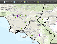
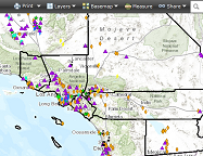
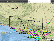
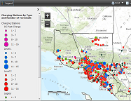
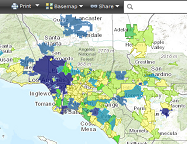
Various resource maps for the region can be found on this page. Scroll down to view our interactive maps which include the Southern California PEV Atlas and the SCAG edition of MapCollaborator for open space resources.
Sustainable Land Use (9)
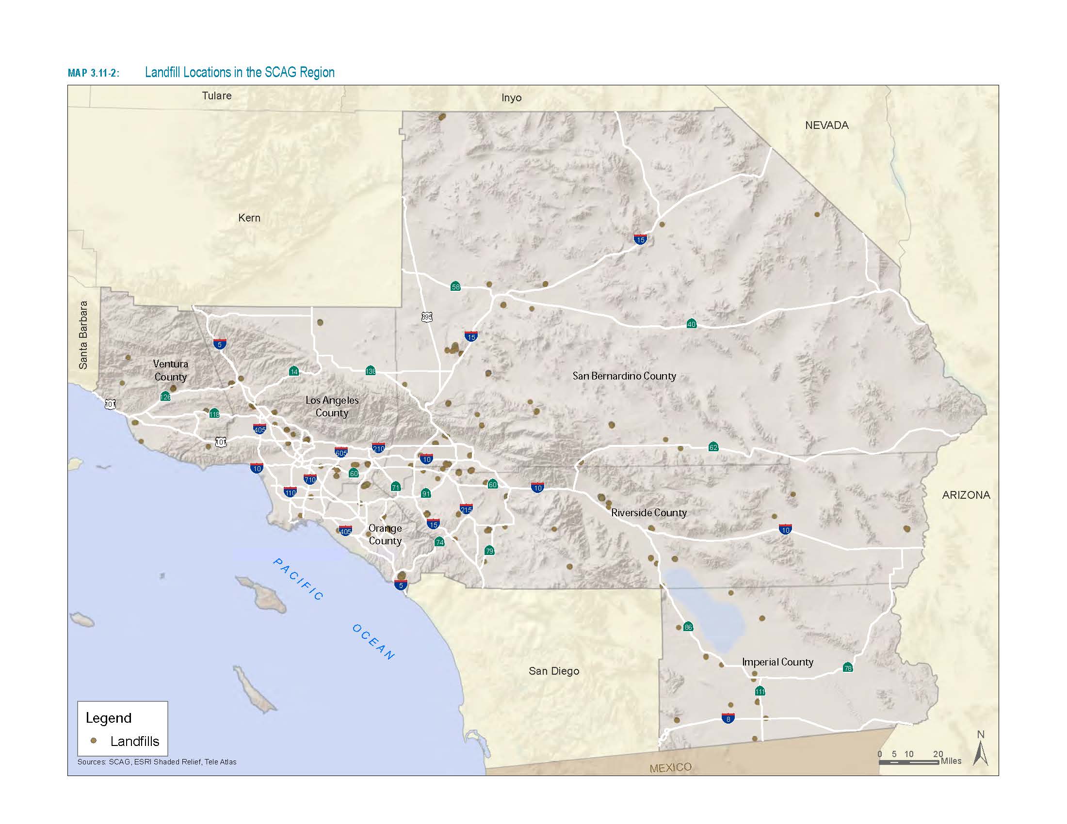
Landfill Locations in the SCAG Region
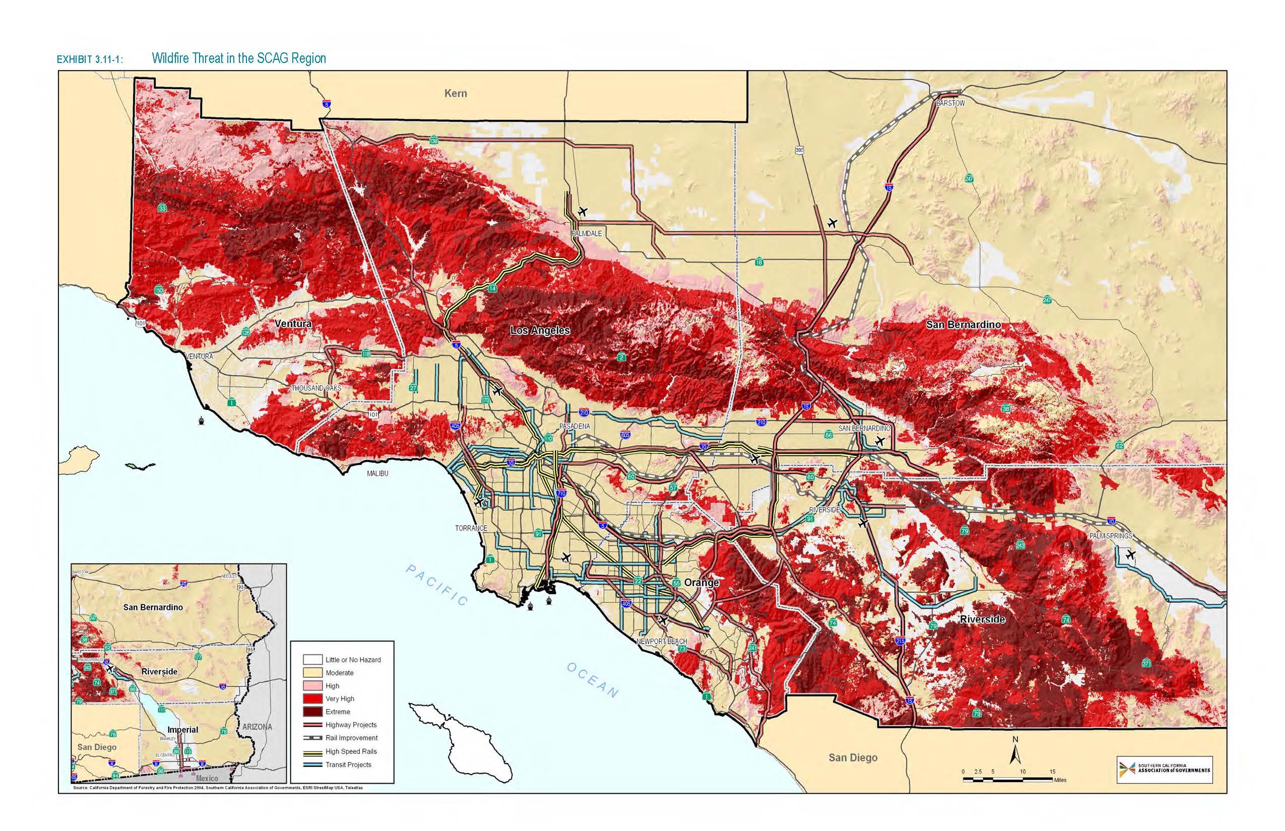
Wildfire Threat in the SCAG Region
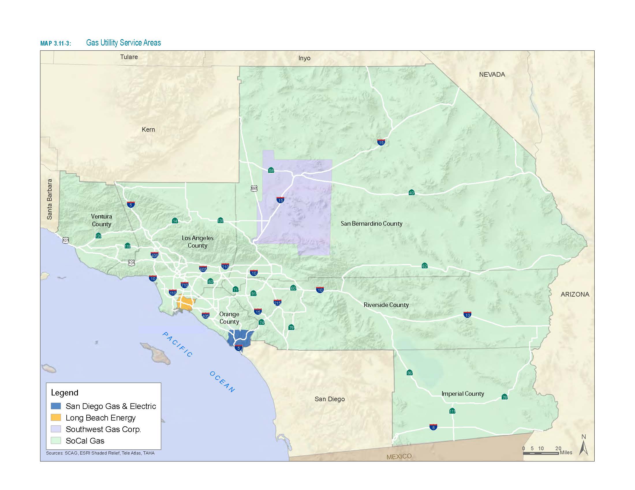
Gas Utility Service Areas
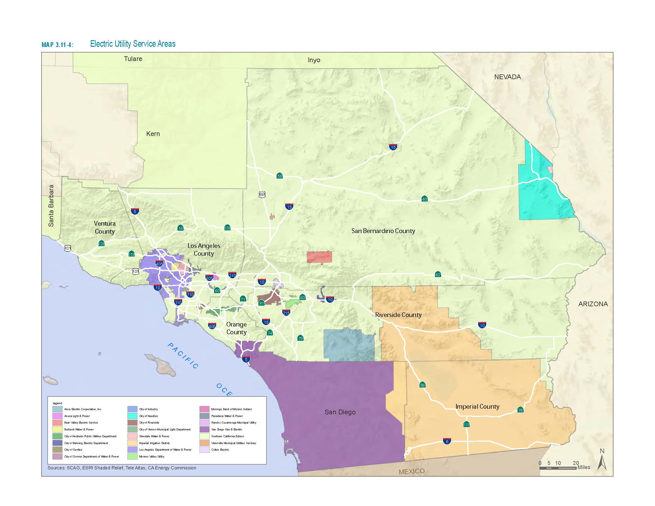
Electric Utility Service Areas
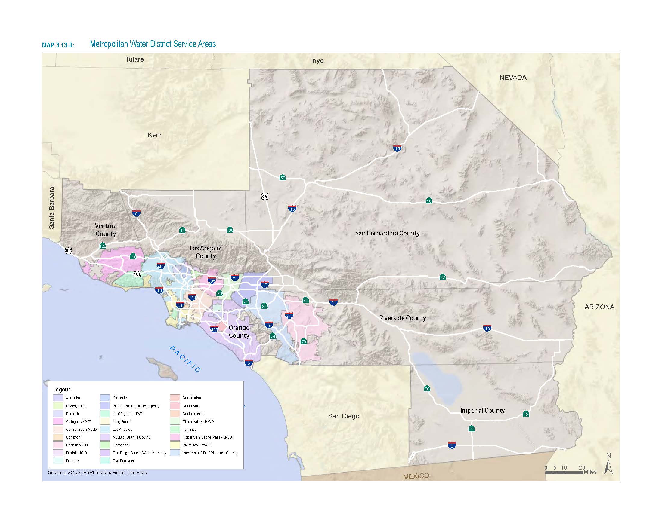
Metropolitan Water District Service Areas
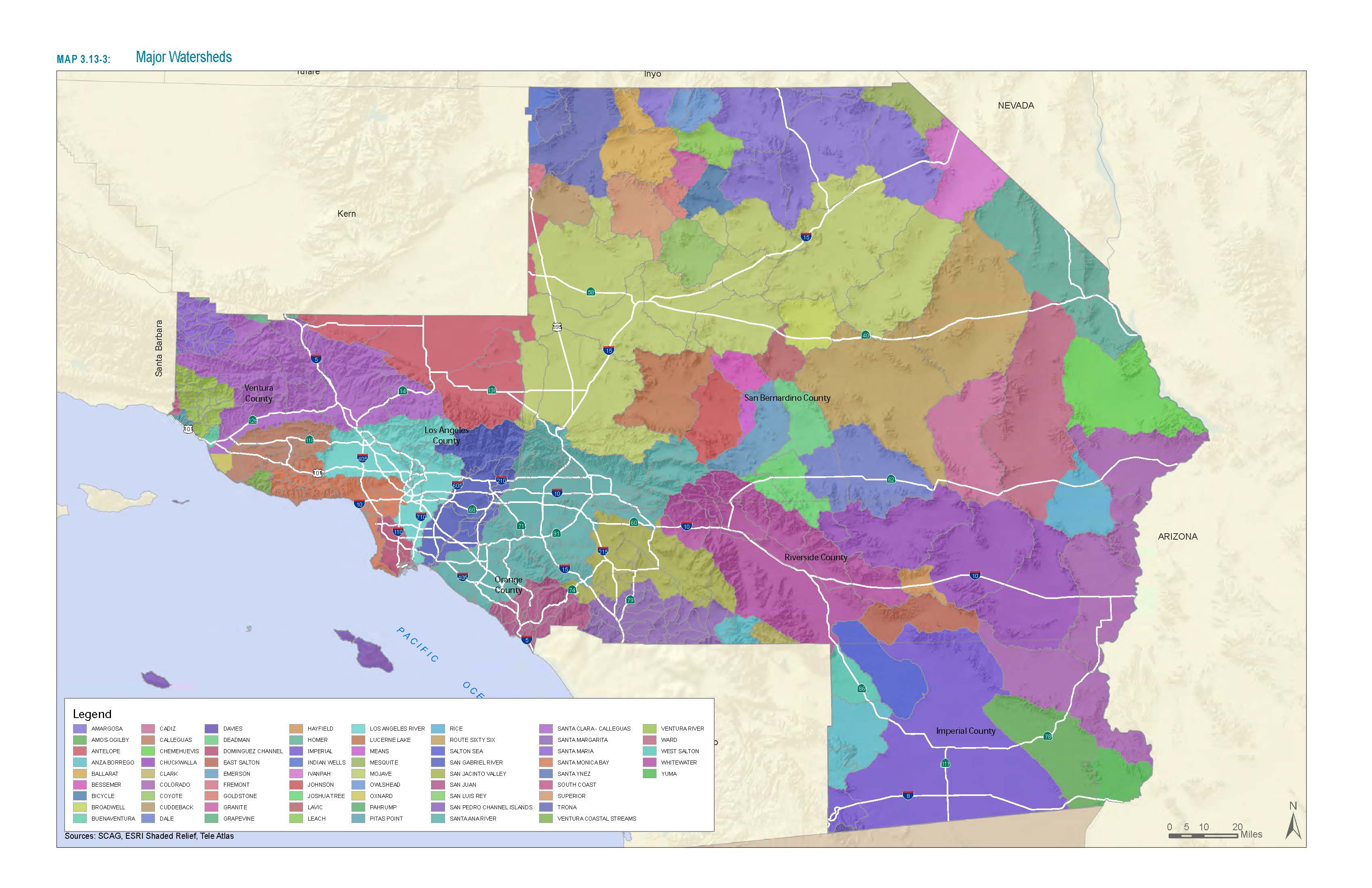
Major Watersheds
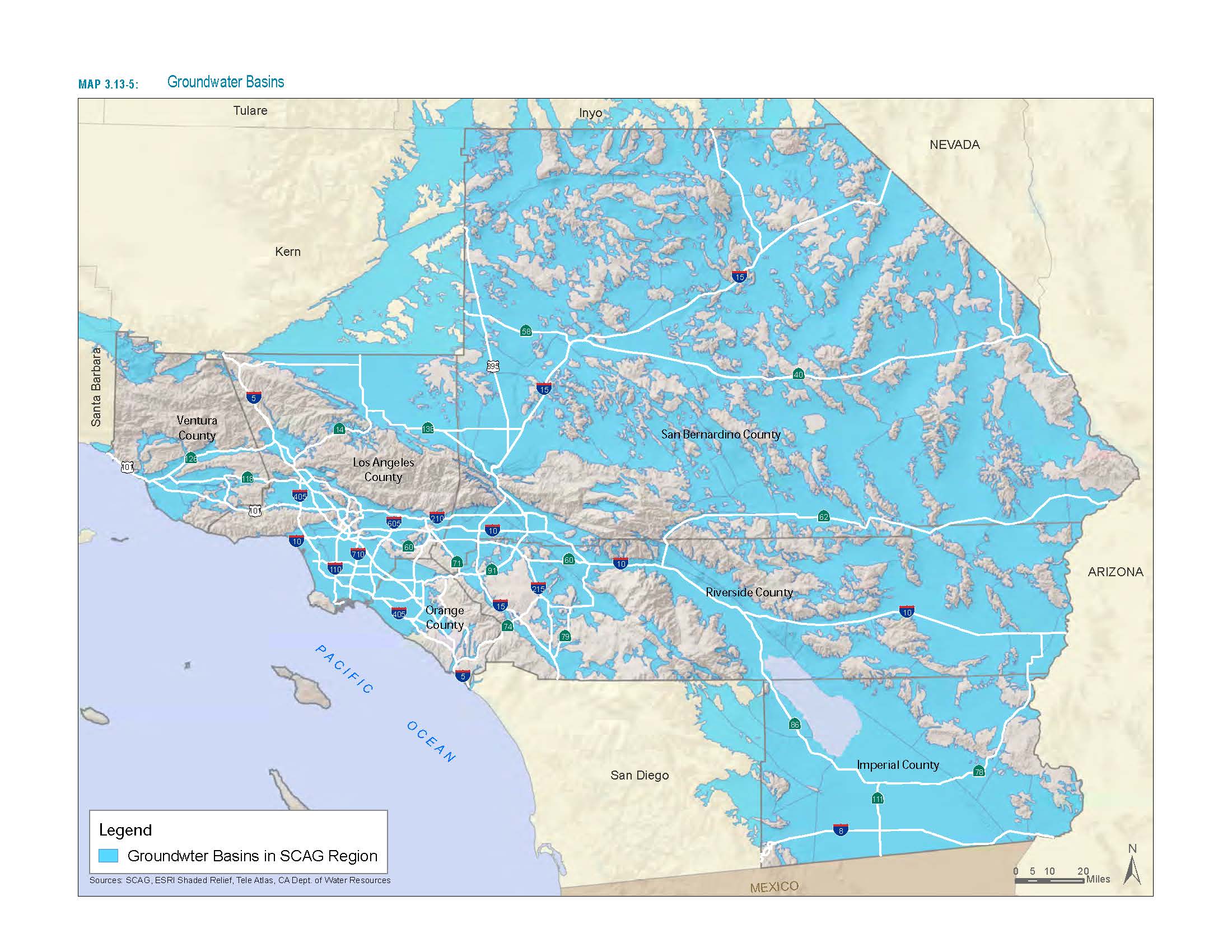
Groundwater Basins
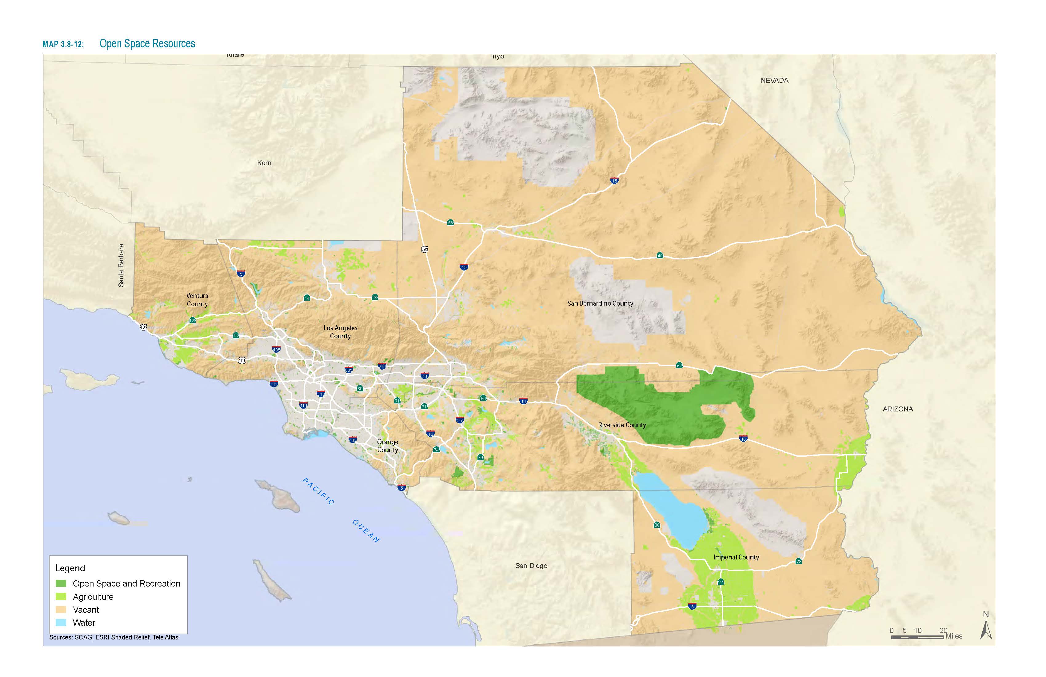
Open Space Resources
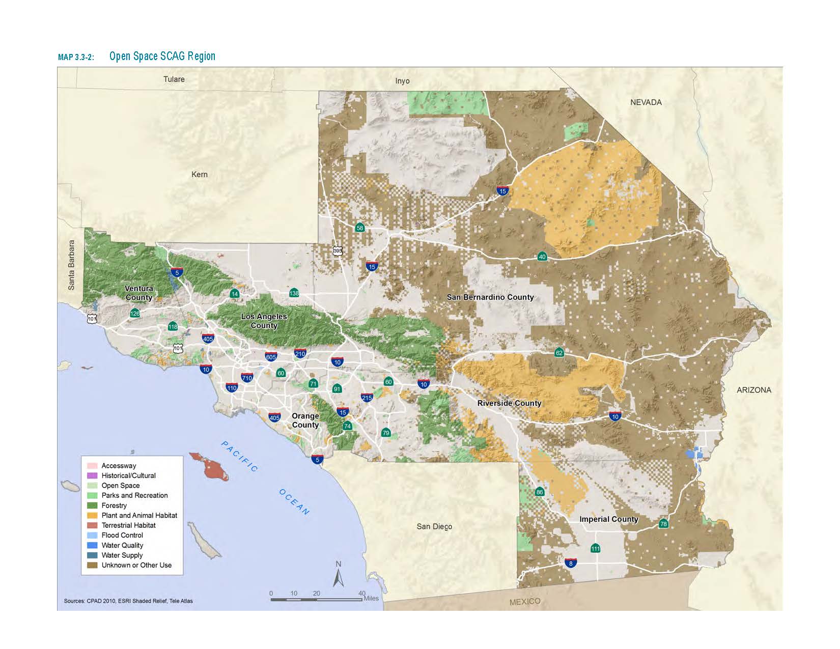
Open Space SCAG Regions
Sustainble Energy (1)
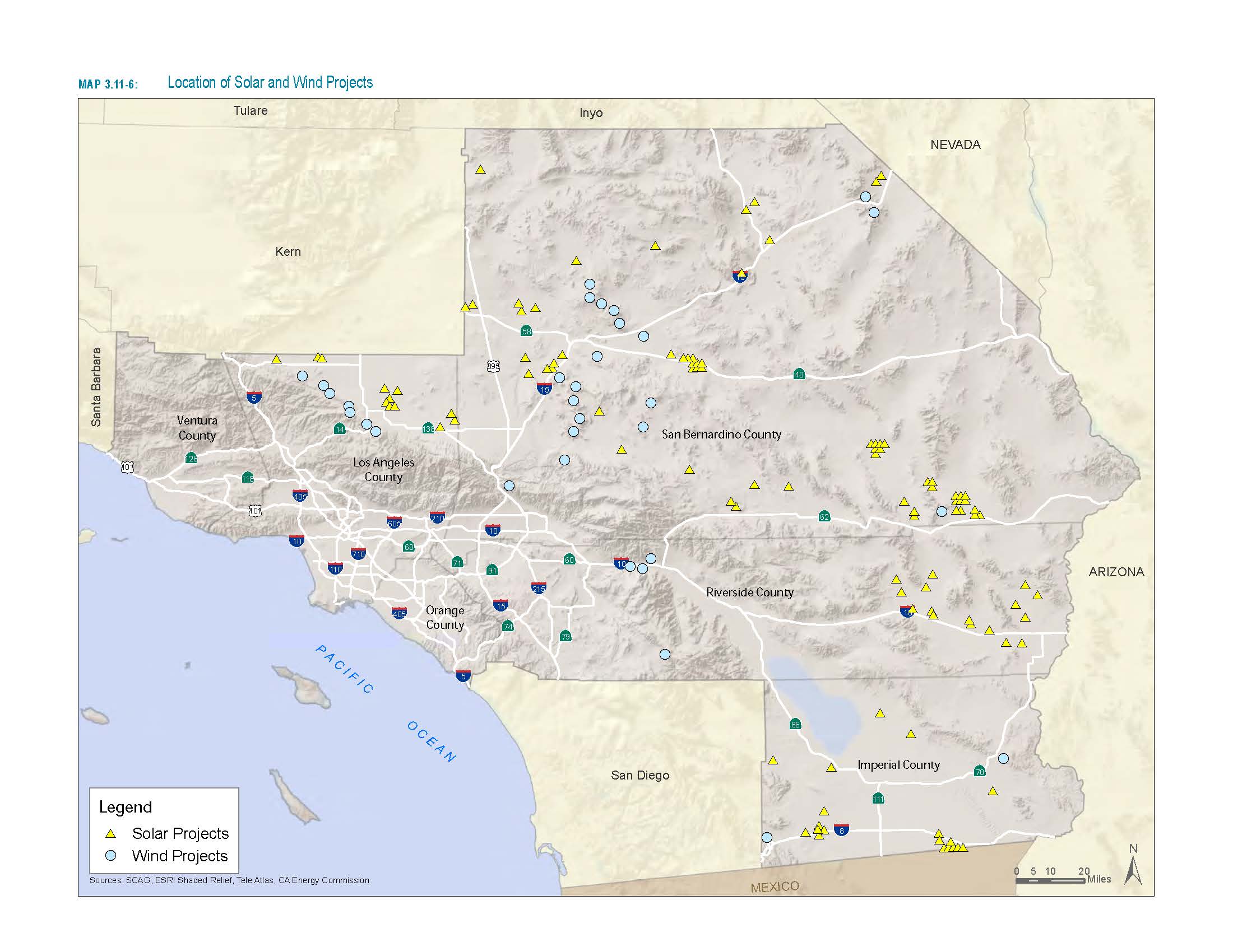
Location of Solar and Winds Projects
Interactive Maps (6)

Green Infrastructure
Green infrastructure is the interconnected network of open spaces, such as farmland, natural areas, parks, urban forests, and other greenways that provides life-sustaining natural processes and links the urban environment to the natural world.
Strategic Planning Process
SCAG is developing a strategy for addressing regional open space conservation. SCAG will engage partner agencies and other stakeholders to determine the critical elements needed for crafting a successful program.

Mitigation Strategies
Mitigation strategies can be tailored to meet open space conservation needs and constraints such as advance mitigation planning, habitat banking, transfer of development rights, or easements.

