Tools
SCAG’s Regional Data Platform (RDP) is a revolutionary system for collaborative data sharing and planning designed to facilitate better planning at all levels.
SCAG’s Open Data Portal allows users to search, view, query, and download data residing in SCAG’s Enterprise Geodatabases through an intuitive and user-friendly interface.
This online mapping system allows users to choose an agency, view their holdings on a web map and use online tools to make notes, draw new parks or propose realignments of existing data, edit current shapes and upload their own GIS files to the map.
Interactive website that provides building energy consumption statistics at an annual temporal resolution for most neighborhoods, cities, and counties in Southern California.
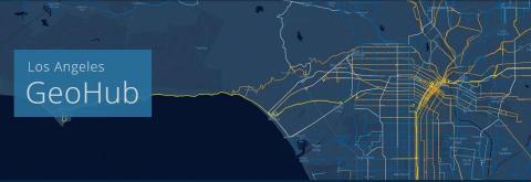
GeoHub is Los Angeles’s new public platform for exploring, visualizing, and downloading location-based Open Data.
California Urban Water Use Map
A web app from the Pacific Institute that shows data on residential and system-wide water use, and allows users to explore trends and patterns.

The California version of ITHIM, which stands for Integrated Transport and Health Impact Model, is a planning tool that calculates the change in deaths, years of life shortening and disability, and costs due to these changes in air pollution, physical activity, and traffic injuries.